| Vanderberg Cottage
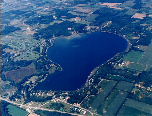
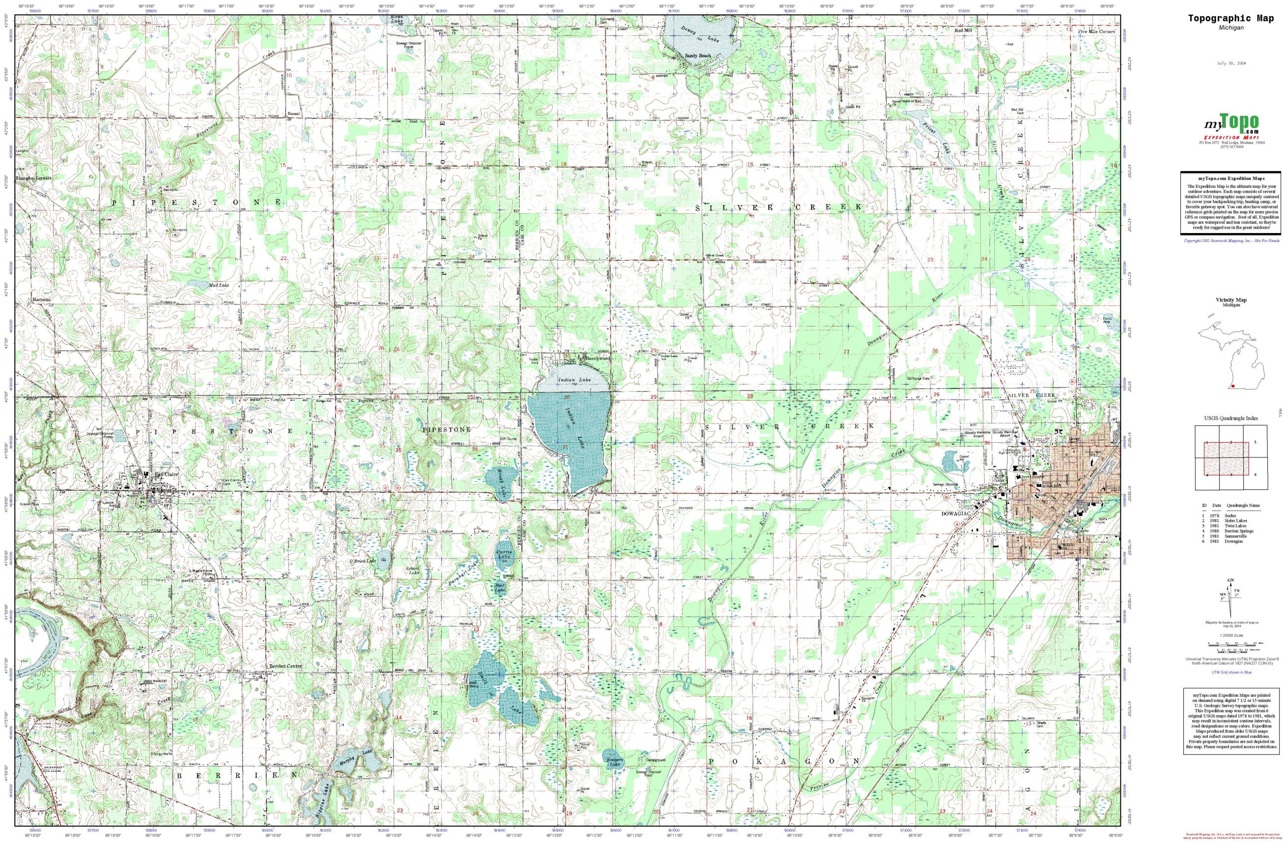
Indian Lake, Cass county Michigan 55436 Indian Lake Rd Dowagiac, Michigan 49047-9367 Indian Lake Homepage |
Large(463k) - Medium (217k) - Small (82k)
Google
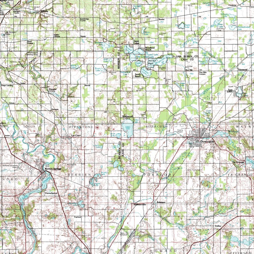
Map |
Driving Directions from Indianapolis
Take South Bend bypass (7 miles north of
the town of Lakeville).
- There is a large green sign on right saying "US31 to Niles".
- Enter this bypass using the 2nd entrance ramp which does a 270 degree
loop.
- stay on the US31 bypass for about 18 miles
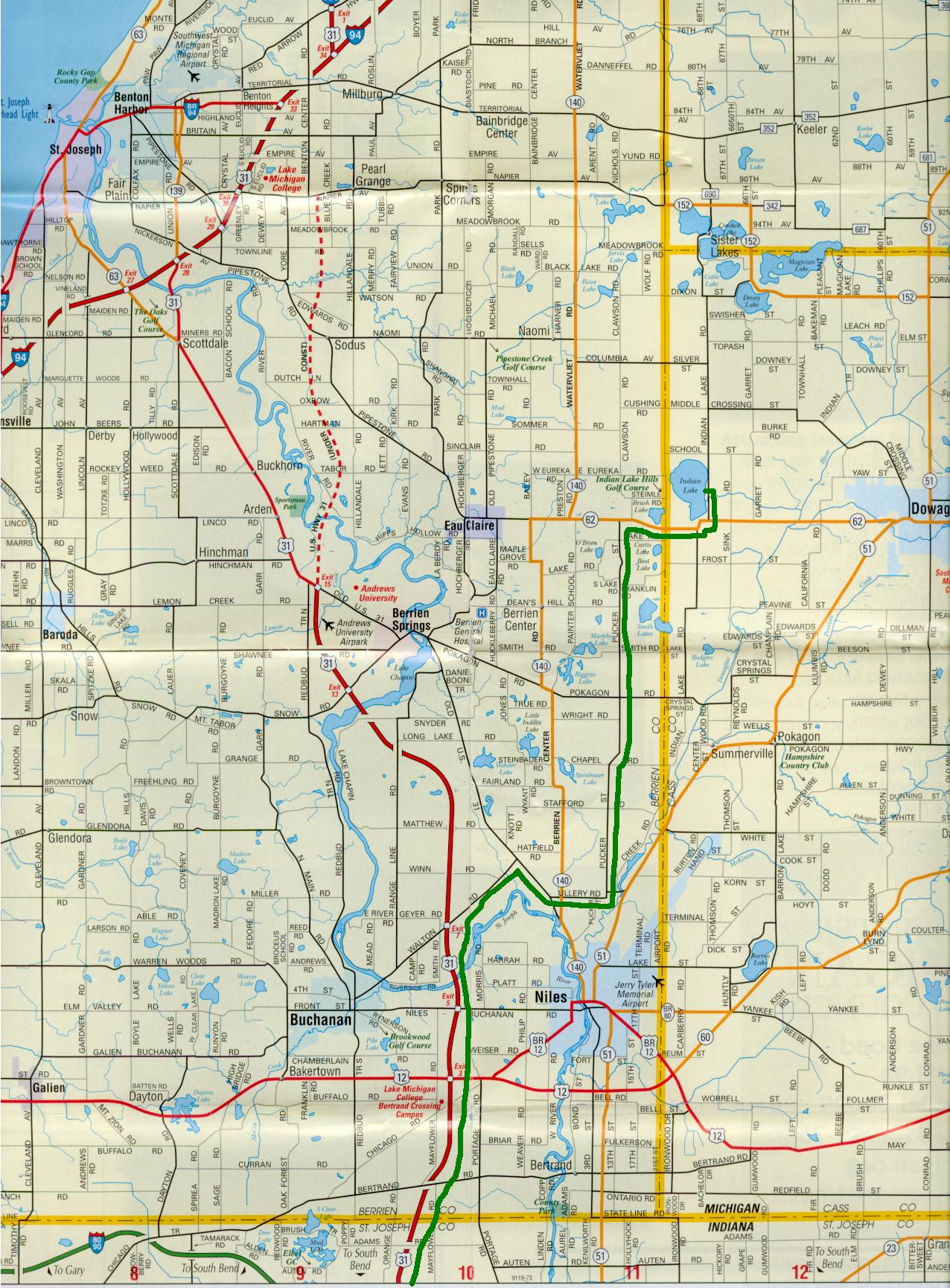
Take the "Walton Road" Exit (Exit number
7)
- a few miles past US12
Go RIGHT on Walton road a mile or so until Walton road T's into Business US 31 & 33
Turn RIGHT (south) onto US 31 & 33, heading toward Niles.
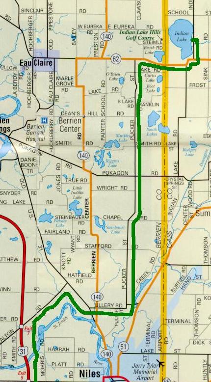
After about 1.2 miles, take a LEFT on Ullery
road
- This left turn is a little hard to see.
Continue straight across M140 (a stop sign), after which the road turns left and becomes Pucker street.
Go north on Pucker street (yes, Pucker st.) until you T into M62. About 8 or 9 miles
Go RIGHT on M62 for about a mile
Turn LEFT on "Indian Lake Road"
Curve RIGHT and pass a fire station.
Then you will need to make a LEFT turn continuing on Indian Lake Road
- you'll see a Pub (Irish Spartan) on
your left.
About 1/2 mile down the road, there will
be two entrances to the "Indian Lake Club", on the left
- little Indian Lake Club signs will be hanging from posts.
Take the second entrance. The Vanderberg
cottage will be straight ahead of you, at the "T" in the road.
- White cottage with green trim,
- Park by the garage on the left side of the road just before the "T"
Indianapolis Alternate Route
Take 421 out of Indianapolis
Do not go left when 421 splits off (North of Kirklin), but continue going
straight on St. Rd 29 which heads towards Logansport
Go through Logansport (about 1hr north of Indy) by following signs to St. Rd 25 North. (see google
map)
on Return trip through Logansport you
want to follow signs for 29 South out of town.
Take 25N to US 31 (about 20 miles)
Then take US 31 North and follow the usual Indy to Lake directions above.
Driving Directions from Chicago Loop
Indian Lake, Cass Co. Michigan Directions
55436 Indian Lake Rd.
Dowagiac, MI
Avoid "Eau Claire" Michigan unless you want to drive 25mph or get a ticket.... many have.